O Faro de
Tamallancos
Weather · Services · And things in the sky
Ourense → Tamallancos → Cea
22,1 km
+617 m
~12,3 Km
total cloud cover

precipitation

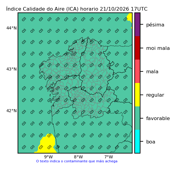
air quality
Emerxency phones, Hosting, and other Services
And if you look up to the sky...
Aircraft continuously broadcast —openly— a wealth of data via ADS-B radio signals (Automatic Dependent Surveillance–Broadcast), which can be picked up with a VHF receiver. On the map you can see flights passing within about 50 nautical miles of Tamallancos, and for those that are "visible", it shows how to spot them in the sky.
On the right you'll find a "compass" centred on Tamallancos showing where to look to catch the ISS passing overhead, as well as any other planets that may be visible to the naked eye tonight. Weather permitting, of course. ISS visibility data is calculated using orbital elements (TLEs) from CelesTrak, while planetary positions are computed using the DE421 ephemerides from NASA's Jet Propulsion Laboratory.
Sites my ADS-B receiver shares data with (and statistics): FlightRadar24 + FlightAware + PlaneFinder + ADSBexchange
a little about me
I am a computer engineer and vocational training teacher (IT) at IES de Teis in Vigo.
And also passionate about sport, long motorcycle trips, photography and learning.
Tamallancos is my village, and this page is a small personal project.
There is no company or public body behind it. Just me and my free time.
If I made your time in Tamallancos a little more enjoyable, that's enough for me;
and if you really liked it, you're welcome to buy me a coffee: ☕
experience
[2019-now!] IT Teacher (public sector)
[2017-2019] IT Teacher (private sector)
[2015-2019] Product & Marketing Manager
[2008-2015] IT Project Manager
[2005-2008] Fullstack web dev.
education
[2021] B2 Galician (EOI Vigo)
[2019] C1 English (EOI Vigo)
[2016] Master's Degree in Sales & Marketing Management (UDIMA)
[2006] CAP (UVigo)
[2005] Computer Systems Engineering (UDC)
other
Black belt in Kickboxing
Black belt in Aikido
Music theory + Piano (10 years)
If you are interested in programming, systems and related projects, visit my "teacher" page!